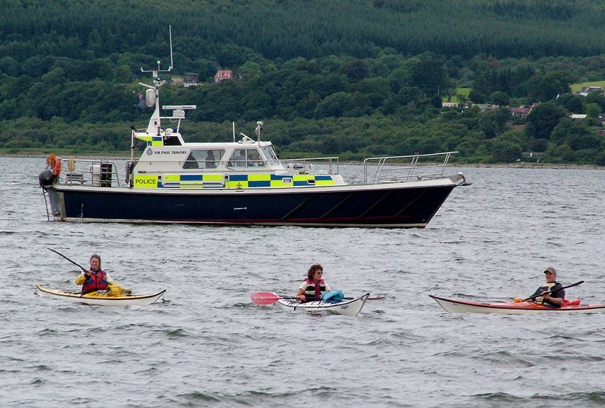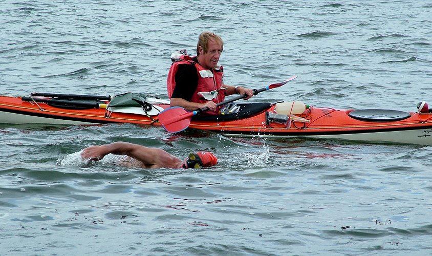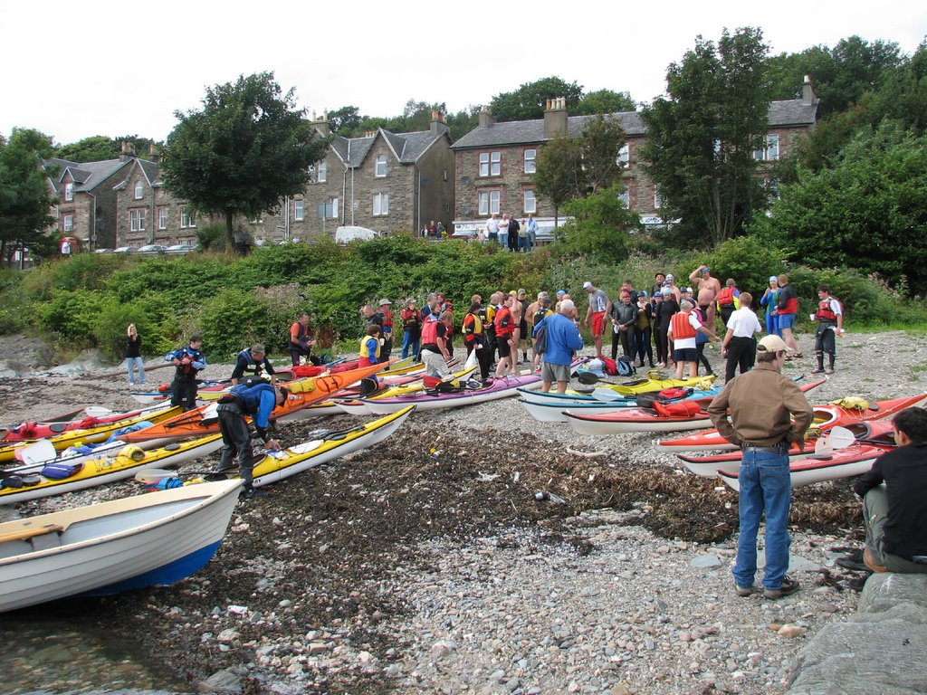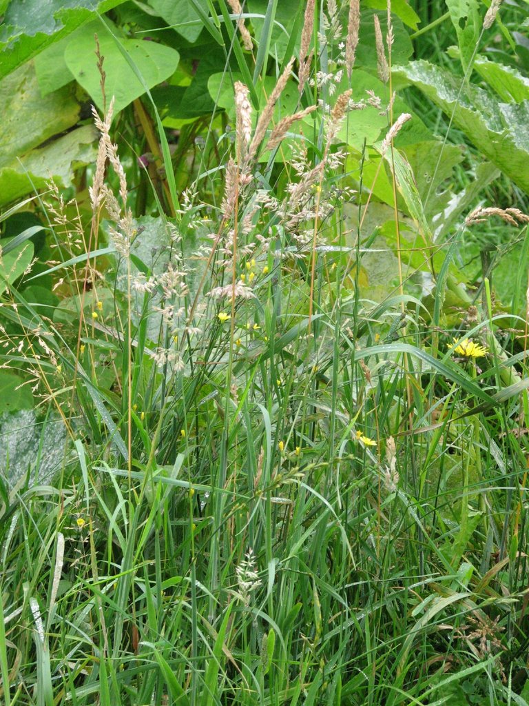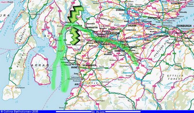
Wildside wondered why the 'river' was so wide at the point of the swim, quite rightly so as it is really an estuary there, the Firth of Clyde. This is a map of central Scotland, I have tried to indicate in a green line the course of the Clyde, and by green arrows the point at where the swimmers went from Kilgregan to Greenock. Sorry for any confusion, but I always know what I mean myself; that I am in the sea at Greenock in the Clyde, and that I am fresh water river paddling near Lanark in the Clyde(that'll be the upside down banging head off rocks part. . .ah, I don't do that part any more).
The River ClydeThe River Clyde flows from its source near Lanark to its mouth, Glagow, at the Firth of Clyde, where it flows into the North Channel of the Irish Sea. The Clyde was well-known for its ship building which has declined, Glasgows docks saw the launch of well-known ships as the Queen Mary and the Queen Elizabeth II. It has a total length of about 106 miles (176 km), making it Scotland's third longest river and the tenth longest river in the UK.
The Firth of ClydeThe Firth of Clyde is the estuary of the River Clyde, from its upper tidal limit in Glasgow to the outer firth in Argyll and Ayrshire. It includes the Mull of Kintyre, many sea lochs, and the islands of Arran, Bute, Cumbrae and some smaller islands.
historical link here
http://www.geo.ed.ac.uk:81/scotgaz/features/featurehistory1125.htmlyou can take a grand trip out on the Waverly
http://www.waverleyexcursions.co.uk/